 EN
EN  it
it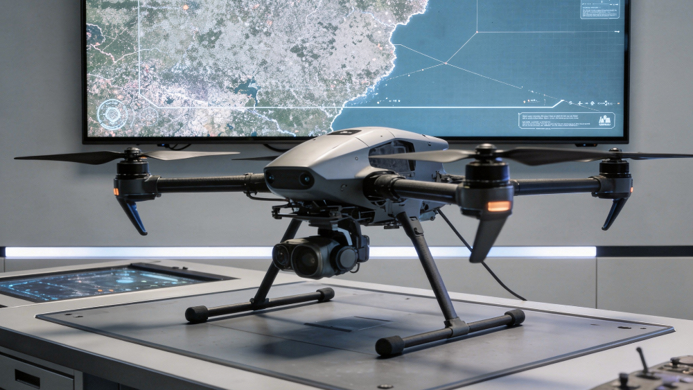
The management of water resources requires increasingly accurate tools to address water scarcity, extreme events, pollution, network losses and infrastructure under pressure. This need is the basis for the “Digitalisation of the water sector” call, promoted by ESA Business Applications within the opportunities dedicated to the development of space-enabled services.
The initiative, open from 12 May 2026 to 30 August 2026, focuses on Proof-of-concept and Pilot Projects. The objective is to transform data, technologies and observation capabilities into useful services for operators, utilities, water authorities, cities and territories.
Monitoring, infrastructure and resilience: the needs addressed by the call
The call identifies several operational priorities for the sector: preventing and detecting water losses across the value chain, improving wastewater treatment, locating leakages, monitoring infrastructure and supporting interventions on distribution systems and sanitation services.
These are different areas, but they are connected by the same need: making digitalisation more integrated and easier to apply within real operational processes. ESA highlights that the water sector already uses digital tools, but often in a fragmented way, with solutions limited to individual territories or specific operational functions.
In this context, drones are useful tools for territorial control, linear infrastructure monitoring and the inspection of hard-to-access areas: the collection of high-resolution data can be integrated with data gathered through satellites, IoT sensors and analytics platforms.
Two areas of work: sustainability and resilience
To define the scope of the call, ESA identifies two areas of intervention: Water Sustainability and Water Resilience.
The first concerns the monitoring of water quality, resource availability, sanitation services and the control of industrial discharges. The second focuses on infrastructure monitoring, reduction of non-revenue water, faults in sewer systems and resilience to droughts and floods.
In both cases, data is used to make decisions more timely, interventions more targeted and water resource management more measurable.
From satellite to drone: the value of data integration
The distinctive element of the call is the essential use of satellite technologies and satellite data. Proposals must integrate at least one of the following: Earth observation, satellite communications and satellite navigation, also in combination with tools such as artificial intelligence, edge computing, IoT and drones.
Earth observation can support near real-time monitoring of indicators such as turbidity, algal blooms and chlorophyll-a. It can also contribute to the modelling of future scenarios, the analysis of the effects of droughts and floods, and the monitoring of ground movement, which is also useful for assessing the risk of pipeline failure.
The contribution of drones fits into these activities by offering a close-range and flexible level of observation: it enables targeted surveys, multispectral or thermal acquisitions, focused inspections and data collection in operational contexts where speed, detail and safety are decisive.
From collected data to operational decisions
The decisive step is not only collecting information, but making it usable in daily management. Satellite navigation systems can improve the geolocation of local sensors, feed more accurate GIS models and support maintenance planning.
Satellite communications can ensure continuity in data transmission, asset tracking and response capacity even in remote areas or emergency situations. Satellites, UAS, sensors and analytics platforms can contribute to the development of monitoring systems that are more timely, interoperable and action-oriented.
This is a particularly relevant perspective for activities such as environmental control, hydrogeological risk management, network and infrastructure inspection, agricultural monitoring and emergency support.
What ESA funds and which support is provided
The call supports Proof-of-concept and Pilot Project activities aimed at teams able to demonstrate technical and commercial expertise, clear user needs, market potential and a proposal in which space data or space technologies generate recognisable value.
The support indicated by ESA is not limited to financial contribution. The offer includes zero-equity funding, technical and commercial guidance, access to the ESA network and partners, and brand credibility. The expected contribution ranges from 50% to 80%, depending on SME status and Member State approval.
From the ESA call to the Dronitaly pathway
The ESA call addresses key topics for Dronitaly: integration between satellite data and UAS surveys, environmental monitoring, AI, sensors, data management and support for operational decision-making.
These directions are aligned with the pathway of the event, which will continue to accompany the evolution of UAS in the civil and professional sectors, highlighting the role of drones as tools for innovation, monitoring and smart territorial management.
The next appointment will be the Dronitaly invitation-only special event at the ENEA Brasimone Research Centre, on 2 October 2026, a milestone on the path towards Dronitaly 2027, scheduled from 7 to 9 April 2027 at the Bologna Congress Center.
Sources
- ESA Business Applications – “Digitalisation of the water sector”: https://business.esa.int/funding/call-for-proposals-non-competitive/digitalisation-water-sector