EN
EN  it
it

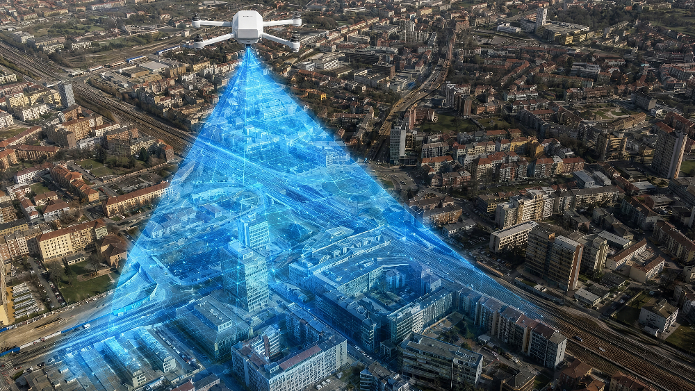
Territory monitoring is entering a new phase: no longer individual technologies used separately, but integrated systems in which drones, satellites, sensors and artificial intelligence work together to transform large amounts of data into operational information.
This evolution closely concerns the environment, infrastructure, safety and risk management. From illegal landfills to the monitoring of bridges and viaducts, the challenge is the same: identifying critical issues earlier, verifying them quickly and supporting more timely decisions by public authorities, infrastructure managers and specialized operators.
PERIVALLON Project: identifying illegal landfills
A significant example comes from the PERIVALLON project, funded under Horizon Europe, which also involves the Department of Electronics, Information and Bioengineering of the Politecnico di Milano. The project uses artificial intelligence, satellite imagery and images acquired by drone to identify illegal landfills and illicit waste disposal sites. According to the Politecnico di Milano, the solution developed can identify these areas with an accuracy of over 90%, accelerating environmental investigation activities and large-scale territory monitoring.
The value lies not only in the ability to observe from above, but in the creation of an integrated data chain. Satellite imagery makes it possible to observe large territorial areas, AI algorithms identify patterns, anomalies and possible risk signals, while drones can be deployed to acquire close-up, high-resolution images, useful for verification and documentation. In the PERIVALLON project, this approach integrates Earth observation data, video streams from UAVs/RPAS, open-source information and administrative documentation into a platform designed to support the fight against environmental crime.
Infrastructure: from data to operational control
The same integrated model also applies to infrastructure monitoring. The ESA 5GBRAINS project, developed within the framework of infrastructure and smart city solutions, combines sensors, AI, drones and satellite data to provide a real-time view of the structural health of bridges in the Turin area. The system collects dynamic and static data, analyzes it through artificial intelligence algorithms and, in the presence of anomalies, can activate the use of drones for immediate visual inspection.
A concrete example of this evolution also comes from the Dronitaly news article dedicated to “Drones and artificial intelligence on Mont Blanc for infrastructure monitoring”. In Courmayeur, in the areas protecting the Mont Blanc Tunnel, Autostrade dello Stato and SITMB tested the use of drones, artificial intelligence and digital platforms for territory monitoring and risk prevention. In particular, drones were used to acquire high-resolution images of rock faces and rockfall protection nets, which were then processed through AI algorithms to support the analysis of the monitored areas.
This perspective shifts the drone from being a simple surveying tool to becoming part of a broader information infrastructure. Its role becomes particularly relevant when it is necessary to collect data in hard-to-reach areas, reduce operator exposure, document complex situations or integrate information from different sources.
Scalability and safety of operations
Alongside the technological dimension, there is the issue of operational scalability. For drones, AI and geospatial data to become ordinary monitoring tools, missions must be safe, interoperable and compatible with airspace. In this direction, the European SESAR SAFIR-Ready project validated a detect-and-avoid solution capable of also taking geofencing into account, integrating Remote ID, command-and-control and traffic awareness. The European objective is to enable increasingly safe and automated UAS operations within a U-space ecosystem capable of supporting applications such as logistics, infrastructure inspection and emergency response.
At Dronitaly, the discussion focuses on satellite data, RPAS and environmental monitoring
Environmental monitoring is one of the areas in which the integration of different technologies most clearly shows its value. It is no longer just a matter of acquiring images from above, but of combining drones, satellite data, sensors and analysis tools to read the territory in a more complete and timely way.
This topic was explored in depth during the technical conference “Current and potential perspectives for the integration of satellite and RPAS data”, promoted by AIT as part of Dronitaly 2026. The meeting focused on the relationship between remote sensing, satellite data, acquisitions from RPAS, GeoAI and multispectral and hyperspectral sensors, also highlighting a decisive point: high data resolution is not enough if it is not supported by proper calibration, acquisition quality and the ability to integrate with other information sources.
This technical and scientific framework is connected to the ISPRA/SNPA conference “The new ‘eyes’ of environmental monitoring: how technological innovation supports institutional Earth observation activities”, dedicated to the role of drones within the National Environmental Protection System. The applications presented by ARPA/APPA and ISPRA show the use of UAS in concrete monitoring and control activities: inspections at facilities subject to AIA, landfill monitoring, methane detection, coastal analysis and surveys in landslide areas.
In this context, the value lies not only in data collection, but in the ability to integrate, interpret and transform it into useful information for technical and institutional decisions. This is where RPAS take on a strategic role: not as isolated tools, but as part of broader systems for territory observation, control and management.
From monitoring to action
From illegal landfills to bridges, from urban areas to industrial contexts, the point is no longer whether drones can contribute to territory monitoring. The question today is how to integrate them into systems capable of producing reliable, readable and usable data. Satellites, AI, sensors and UAVs do not replace technical and institutional expertise: they strengthen it, offering faster and more precise tools to prevent risks, plan interventions and protect the environment, infrastructure and communities.
In this direction, Dronitaly represents a concrete space for discussion for those who develop technologies, those who use them in the field and those who must turn innovation into operational procedures, services and decisions.
Sources
- PERIVALLON / Politecnico di Milano – AI, satellites and drone imagery to identify illegal landfills: https://www.deib.polimi.it/ita/notizie/dettagli/1423
- ESA Space Solutions – 5GBRAINS: https://business.esa.int/projects/5gbrains
- SESAR Joint Undertaking – SAFIR-Ready validates geofence-aware detect-and-avoid system: https://www.sesarju.eu/news/safir-ready-validates-geofence-aware-detect-and-avoid-system-drone-test-campaign
- Dronitaly – Drones and artificial intelligence on Mont Blanc for infrastructure monitoring: https://www.dronitaly.it/it/News/Ultime-News/Droni-e-intelligenza-artificiale-sul-Monte-Bianco-per-il-monitoraggio-delle-infrastrutture