EN
EN  it
it

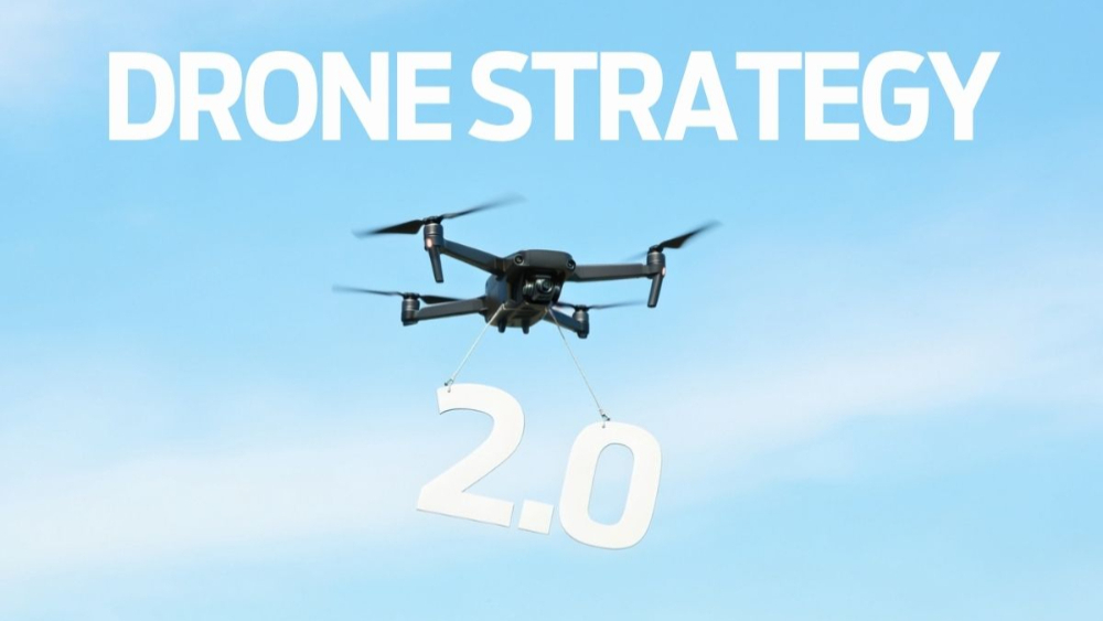
The European Commission has launched a review of the Drone Strategy 2.0, adopted in November 2022 to support the development of a safe, innovative, competitive and sustainable European drone ecosystem.
Two parallel consultations are open from 14 July to 6 September 2026. The first is addressed to citizens, who are invited to share their views on the benefits, expectations and potential concerns associated with the growing use of drones. The second involves manufacturers, operators, service providers, public authorities, financial institutions and other industry stakeholders.
The aim is to gather evidence on the implementation of the strategy and assess whether the priorities identified in 2022 remain aligned with developments in technology, the market and European policies.
The review comes at a time when professional applications have multiplied and the discussion has gradually shifted from technical feasibility alone to the integration of drones into continuous services. Environmental monitoring, infrastructure inspection, precision agriculture, emergency response, security, logistics and geospatial data collection are among the areas in which UAS are already being used.
However, moving from experimentation to structured deployment involves several levels: regulation, airspace management, data quality, economic sustainability and the integration of technologies into the procedures of the organisations that use them.
Testing the European strategy against the sector’s evolution
Drone Strategy 2.0 outlined a vision structured around 19 flagship actions, aimed at developing the drone services market and strengthening the European Union’s industrial and technological capabilities.
The document addressed safety, standardisation, research, innovative air mobility and professional skills, as well as synergies between civil, security and defence applications.
Almost four years after its adoption, the review will allow the Commission to compare that framework with the current situation. The analysis concerns not only the trials carried out, but also the way in which these technologies are entering the operational processes of businesses, administrations and public bodies.
Moving from a functioning platform to a continuous service requires operations to be authorised, risks to be assessed, airspace use to be coordinated, data reliability to be ensured and the use of the information collected in technical and institutional activities to be defined.
The stakeholder consultation will gather first-hand experience on these aspects, while the public consultation will help identify expectations, perceived benefits and potential concerns.
U-space, risk and operations management
One of the strategy’s central areas is U-space, an airspace in which UAS operations are supported by specific digital services designed for unmanned traffic: network identification, geo-awareness, flight authorisation and traffic information enable coordination among UAS operators, service providers, authorities and conventional aviation.
As professional applications grow, the issue concerns not only the safety of individual flights, but also the management of repeated, simultaneous operations distributed across wider areas.
At the same time, EASA continues to update its guidance material. In June 2026, a new revision of the Easy Access Rules for Unmanned Aircraft Systems was published, incorporating content related to the SORA 2.5 methodology for risk assessment in the Specific category.
Regulation, risk analysis and digital services therefore help define the framework within which applications can be developed and deployed. The experience gained by operators will be among the elements considered during the review.
From technical feasibility to impact assessment
Alongside regulatory and operational aspects, the review also addresses the social acceptance and environmental impact of new applications.
On 8 July 2026, the SESAR Joint Undertaking presented a framework for assessing the effects of U-space-enabled urban drone operations. The document considers noise, visual pollution, air quality, perceived safety, accessibility, affordability and public acceptance.
The framework is intended for operators, U-space service providers, public administrations and decision-makers, providing them with shared criteria for comparing the characteristics, benefits and effects of different services.
An application is therefore assessed not only according to its technical feasibility, but also in relation to the problem it addresses, the results it produces and the context in which it is introduced. In environmental monitoring, the quality of the information is crucial; in inspections, the focus is on reducing risks for operators and intervention times; in emergencies, it is the speed with which data reaches those responsible for making decisions.
A service therefore results from the integration of platforms, sensors, data, procedures and people.
Take part in the consultations
The consultations on Drone Strategy 2.0 will remain open until 6 September 2026. The responses will help provide an updated picture of the sector’s technological, regulatory, economic and social evolution in Europe.
Public consultation for citizens
Take part in the public consultation
Questionnaire for industry professionals and stakeholders
Take part in the stakeholder consultation
At Dronitaly, from regulation to operational deployment
Dronitaly remains a practical forum for dialogue among those who develop technologies, those who use them in the field and those responsible for turning innovation into operational procedures, services and decisions.
The event will return to the Bologna Congress Center from 7 to 9 April 2027, providing an opportunity to revisit and explore the definition of rules and the practical use of technologies in greater depth, in collaboration with institutions, leading industry associations and research centres.
The road to Dronitaly 2027 will include two important milestones:
On 2 October, Dronitaly will return to the ENEA Research Centre at Brasimone, with the aim of reopening dialogue between the solutions offered by companies and the demand for solutions from public administrations. The special event, which remains invitation-only, is promoted by the Emilia-Romagna Region in collaboration with ENEA, ASSORPAS and BFWE.
A new lead-up event is scheduled for 26 November during Accadueo 2026 at the Nuova Fiera del Levante in Bari. The conference, organised in collaboration with the University of Bari, will focus on the use of drones for environmental and water infrastructure monitoring.
Sources
European Commission – Have your say on the progress review of the Drone Strategy 2.0, 14 July 2026
https://transport.ec.europa.eu/news-events/news/have-your-say-progress-review-drone-strategy-20-2026-07-14_en
European Commission – Innovative Air Mobility and Aerial Drone Operations
https://transport.ec.europa.eu/transport-modes/air/aviation-safety/innovative-air-mobility-and-aerial-drone-operations_en
European Commission – Drone Strategy 2.0
https://transport.ec.europa.eu/news-events/news/drone-strategy-20-creating-large-scale-european-drone-market-2022-11-29_en
EASA – Easy Access Rules for Unmanned Aircraft Systems
https://www.easa.europa.eu/en/document-library/easy-access-rules/easy-access-rules-unmanned-aircraft-systems
EASA – U-space
https://www.easa.europa.eu/en/domains/air-traffic-management/u-space
SESAR Joint Undertaking – New white paper provides evidence-based framework for assessing societal impacts of urban drone operations, 8 July 2026
https://www.sesarju.eu/news/new-white-paper-provides-evidence-based-framework-assessing-societal-impacts-urban-drone
SESAR Joint Undertaking – U-space environmental and social impact assessment framework
https://www.sesarju.eu/sesar-solutions/u-space-environmental-and-social-impact-assessment-framework
ENAC – Dronitaly 2026, “Shared skies: governance, safety and innovation in the drone era”
https://www.enac.gov.it/news/enac-allinaugurazione-di-dronitaly-2026-con-la-consigliera-di-amministrazione-fiorini/
Dronitaly – Drones, satellites and AI: territorial monitoring becomes integrated
https://www.dronitaly.it/it/News/Ultime-News/Droni-satelliti-e-AI-il-controllo-del-territorio-diventa-integrato